
Search Elk River Streets by Address
An address search works best as a chain, not as one answer. Start with a physical address in the Sherburne County property tools. Preserve the situs address, unit, parcel ID, legal description, and the name attached to the tax record. Then use the same parcel identity in recorded land records. The resulting material can place an owner, a grantor, or a grantee in a dated transaction. It does not identify every person present at the address. The difference matters on an Elk River street directory search because a mailing address is tax correspondence, while the situs is the physical land location.
- Search the address in Sherburne County Beacon, or locate it in the county GIS service. Record the PID, legal description, and exact address.
- Map the street segment in GIS. Click each parcel polygon that is relevant, then retain its building number, street fields, PIN, plat, block, and lot.
- Use the PID or legal description to compare the parcel with Beacon data. Treat owner and tax-mail fields as tax-linked information, not a household list.
- Search RecordEASE using the owner, legal description, or a known document number to build a dated title trail.
- For a lawful election inquiry, use the statutory voter-list request route. For past address clues, ask GRRL or MNHS whether an address-arranged volume exists for the needed year.
That order leaves a clear audit trail: address to PID, PID to legal description, legal description to a recorded document, and document to a date. It also avoids treating a single parcel result as proof of current household membership.
Elk River GIS Street Polygons
The Sherburne County GIS viewer provides the street-by-street map layer that Beacon alone cannot provide. Its Elk River Utility parcel service uses parcel polygons joined by PID to assessor tax data. The documented service can query, identify, find, export, sort, return distinct values, paginate, and calculate statistics. It labels parcels with BLDG_NUM and has a 2,000-record maximum. That makes it useful for a segment of an Elk River street directory, especially when a road contains several lots or unit-bearing addresses.
The county GIS image shows the parcel-viewer route used to orient an address search.

Use the displayed geometry to find land records, then check the assessor record before relying on a name or value attribute.
| BLDG_NUM and street fields | Building number, street name, type, directional suffix, and unit information identify the mapped address. |
|---|---|
| PID or PIN | The parcel identifier joins the polygon to tax and assessor data. |
| PLAT_NAME, BLOCK, LOT | Subdivision and lot fields help bridge the map to a legal description. |
| OWNER_ADD and TAX_ADD | Owner and tax mailing-address families show where correspondence is sent, not necessarily a home location. |
| ZIP, ZIP4, EMV fields | Mailing attributes and estimated land or building values support geographic and tax research. |
Note: GIS fields and parcel geometry are research leads; the Assessor remains the authoritative source for owner and value records.
Elk River Beacon Parcel Fields
County documentation for Beacon identifies the basic free fields: address, classification, estimated market and assessed value, homestead status, legal description, parcel ID, school district number, section-township-range, and tax information. Fee-based CAMA material can add property pictures, comparable properties, current owners, foundation and interior details, outbuildings, recent sales, style, and year built. The live Sherburne field labels were not available during research, so no unverified filter, export, or ZIP-search feature should be assumed.
The Beacon property-search interface is the county entry point for a single Elk River street directory parcel check.

Match the result to the GIS PID and legal description before moving to the Recorder, particularly where similar street names or units are involved.
Elk River Street Record Coverage
Each source answers a narrower question. The parcel record gives current tax-linked property facts. GIS puts that record on the ground. A recorded deed documents a transaction, while a permit can date work on a parcel. Voter information has a separate, restricted request process. The following Elk River street directory coverage keeps those roles distinct.
| Address record | Custodian | What it can show | Access route |
|---|---|---|---|
| Beacon basic parcel record | Sherburne County Assessor | Address, owner, PID, legal description, classification, values, homestead, and tax fields | Free online or office access |
| GIS parcel layer | Sherburne County GIS | Building and street fields, geometry, PIN, plat/block/lot, owner and tax-mail fields | Public map and REST query service |
| Recorded land instrument | Recorder / Registrar of Titles | Grantor, grantee, document type, date, number, book/page or tract reference, legal description | RecordEASE payment login, counter, or known-document request |
| Public voter list | Sherburne County Elections / Secretary of State | Name, address, year of birth, voting history, supplied phone, and districts when eligible | Registered-voter request with lawful-purpose certification |
| Permit application | Elk River Building Safety | Address or PID, valuation, work description, plans, and project documents | Application or request route; no public result index found |
| Printed telephone directory | MNHS / GRRL | Printed name, phone number, and street address, where a volume preserves them | Shelf and year verification required |
A PID is the durable bridge among the parcel tools, permit materials, and legal description. A street name is useful for browsing, but a title search should move to the legal description whenever the address is uncertain.
RecordEASE on Elk River Streets
RecordEASE is Sherburne County’s recorded-land portal. It is a payment login rather than an entirely open index. Its coverage is uneven in a useful way: abstract images begin August 1, 1851, but the abstract index begins August 10, 1957. Torrens index and image coverage begins December 15, 1910. Start with the purchase deed for the parcel, note the grantor, grantee, date, document number, type, and legal description, then look for the earlier transfer using the prior seller as a grantee.
The RecordEASE login and index gate is the paid route for the recorded-document layer.
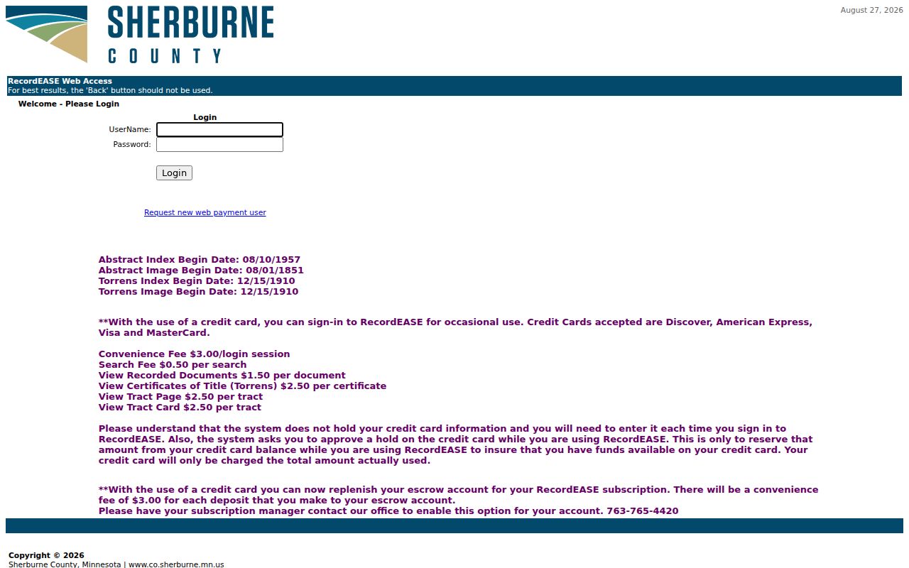
The image reinforces the access limit: post-login search fields and a live result screen were not inspected, so a search must not be described as an open street-name lookup.
For occasional use, the cited county charges are a $3 session charge, $0.50 per search, $1.50 per recorded document, and $2.50 for a Torrens certificate, tract page, or tract card. The Recorder’s request form requires document numbers and will not locate missing numbers. Once the index supplies one, the form can request a certified or uncertified copy. That limitation makes the 1851-image versus 1957-index distinction especially important in a historical street search.
Elk River Street Voter Route
Minnesota has no unrestricted online search for everyone registered on an Elk River street. Under Minn. Stat. §201.091, the public information list is different from the restricted master list. An eligible registered Minnesota voter may inspect or request public-list data with identification and a written lawful-purpose statement for elections, political activities, or law enforcement. The list cannot be republished as a searchable online database or transferred beyond those uses.
The full voter-list request form permits a City/Town or Ward/Precinct geography and offers a walking list sorted by street. It lists $30 for a local geography and says processing may take up to ten days. It also requires the requester’s certification. The individual form is the narrower route when a single voter inquiry is justified. Full dates of birth and identification numbers are not public-list fields, and a safety statement can withhold a voter’s name.
Note: A voter-list entry can confirm a dated registration record, not prove every current person connected with an address.
Elk River Address Permit Context
Building Safety can add a construction or remodeling date to an Elk River street directory trail. The department covers building, mechanical, plumbing, fire alarm or sprinkler, sewer and water, and septic permits within city limits. Its application requirements use the property address or Sherburne PID, valuation, work description, plans, site plan, and project-specific material. Electrical permits are state-issued. No citywide public permit-result search was found, so an application or form is not an online name index.
The Elk River Form Center is the city’s searchable route to permit, planning, streets, and building-safety forms.
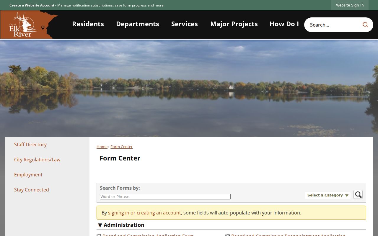
The form categories help identify a request channel; they do not establish that an applicant lived at the property or that a code matter is public.
Elk River Street Address Terms
Three address layers should stay together in notes. A typed street address locates a parcel; a legal description carries the land identity through recorded documents; a mailing address identifies where tax correspondence is sent. Elk River permit materials also request a valid address or PID. The Recorder works most reliably from legal descriptions, grantor or grantee names, and document numbers, while Beacon works from address, PID, or owner and GIS works from parcel geometry and PID.
- Parcel
- A defined piece of land represented by a PID or PIN in county tax and GIS systems.
- Situs address
- The physical location of land or a building, distinct from the address used for tax correspondence.
- Legal description
- The plat, block, lot, or metes-and-bounds description used to identify land in recorded instruments.
- Plat
- A recorded subdivision map that connects lots and blocks to a development or street layout.
- Criss-cross directory
- An address-arranged directory volume, if one exists. Elk River availability must be confirmed with MNHS or GRRL.
Use the wording from the source record. A parcel field can change, and a historic street address may not match the current format without its legal description or plat context.
Elk River Street ZIP Limits
ZIP 55330 is a mailing geography, not an Elk River boundary. City permit material warns that it covers a larger area than the city limits, and county GIS can return parcels with a matching ZIP attribute outside municipal jurisdiction. A street search should therefore retain both the ZIP and the city or county jurisdiction. The address might use an Elk River mailing designation while requiring county rather than city confirmation.
Historic searches require another layer of care. Elk River was platted in 1865, including Orono or Lower Town, and incorporated in 1880. The reviewed sources do not document a citywide renumbering or E911 readdressing date. For an older address, use an old plat, legal description, PID, historic map, and newspaper wording rather than assuming the modern number existed in the earlier period.
For printed historical address material, the Elk River city directory collections explain the telephone-directory shelf and its documented gaps without implying that a reverse volume exists.
Note: A 55330 mailing address does not by itself establish an Elk River municipal jurisdiction or city service responsibility.
Elk River Street Directory Limits
An Elk River street directory can document parcels, recorded transactions, application records, and qualified voter or directory clues. It cannot identify every household member or other person present at an address. Utility and delivery information are not a public street roll. Driver-license addresses have separate federal protection. Safe at Home keeps a participant’s real address confidential, and sealed, expunged, juvenile, and other restricted court material should not be sought through a street search.
Lawful use. Use Elk River street and address records for lawful personal research, civic context, or family history. Minnesota harassment law, including Minn. Stat. §609.748, does not permit repeated unwanted contact, surveillance, or disclosure of protected locations.
Label every result with its source and date. An old address, a tax mailing line, a deed, or a voter record can be useful evidence, but none should be turned into a claim about a person without independent confirmation.